
Lothal's Tidal Dockyard: Ancient Harappan Hydraulic Naval Engineering (2400 BCE)
📜 Executive Heritage Snapshot
📍 Heritage Atlas & Geographic Location
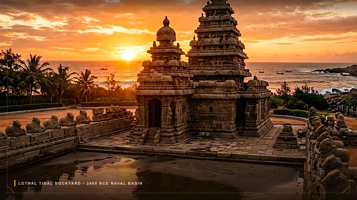
🛡️ ASI Protected MonumentLocated at the head of the Gulf of Khambhat in modern Gujarat, Lothal (flourishing circa 2400–1900 BCE) houses the world's oldest known engineered tidal dry dock. Spanning 214 meters in length and 37 meters in width, lined with over a million kiln-fired waterproof bricks and equipped with an ingenious wooden vertical sluice gate system, this Harappan maritime hub allowed deep-draft ocean-going cargo vessels to enter on high spring tides from the ancient Bhogavo river, locking in water levels for continuous round-the-clock loading of gemstones, carnelian beads, copper ingots, and fine textiles destined for Mesopotamia (Akkad/Ur - recorded as 'Meluhha') and Dilmun (Bahrain).
1. Archaeological Discovery & Excavation Context
Excavated between 1955 and 1960 by the Archaeological Survey of India (ASI) under the direction of Dr. S. R. Rao, Lothal revealed an unprecedented urban plan divided into an elevated Acropolis (seat of administration and high-capacity brick warehouse) and a Lower Town housing specialized bead factories, copper smithies, and merchant residences.
The crown jewel of the settlement was a colossal trapezoidal burnt-brick basin on the eastern flank, which Dr. Rao conclusively identified as a tidal dry dock for ocean-going vessels.
Hydraulic Operation Mechanism
- High Spring Tide Inflow: As high tides surged up the Gulf of Khambhat, ocean water pushed up the tidal estuarine channel of the ancient Bhogavo River.
- Inlet Channel Entrance: Vessels entered through a 7-meter-wide flared opening on the northern wall into the protected inner basin.
- Sluice Gate Operation: Harappan hydraulic engineers dropped a vertical wooden timber gate into masonry grooves fitted along the southern spillway channel.
- Water Lock Retention: This closed lock retained 2.0 to 2.5 meters of water depth inside the basin during ocean low tide, allowing heavy wooden keels to remain buoyant without grounding while workers loaded cargo from the warehouse quays.
2. Structural Dimensions & Civil Engineering Specifications
| Structural Component | Dimension / Metric | Functional Engineering Purpose |
|---|---|---|
| Basin Length (North-South) | 214.0 Meters (702 Feet) | Accommodates a simultaneous fleet of 30+ cargo vessels |
| Basin Width (East-West) | 37.0 Meters (121 Feet) | Ample clearance for turning and maneuvering |
| Basin Wall Depth | 4.5 Meters (14.7 Feet) | Built high to prevent flood inundation during monsoons |
| Brick Quality | Standardized Kiln-Baked (1:2:4) | Complete impermeability to saline weathering |
| Mortar Joint Sealant | Fine Gypsum-Lime & Mud Mortar | Waterproof structural hydraulic seal |
| Southern Spillway Channel | 1.0 Meter Width with Grooves | Regulates excess water outflow and scours silt |
| Warehouse Storage Capacity | 64 Kiln-Baked Cubical Blocks | Secure customs clearance and inspection platform |
3. The Maritime Trade Network: The Meluhha-Mesopotamia Axis
Cuneiform clay tablets excavated in Mesopotamia dating to the reign of Sargon of Akkad (c. 2334–2279 BCE) declare:
"The ships from Meluhha, the ships from Magan, the ships from Dilmun, made fast at the quays of Akkad."
Lothal functioned as the principal manufacturing and export entrepôt for Meluhha:
- Outbound Cargo: Micro-perforated carnelian beads etched with alkaline patterns, steatite unicorn seals, raw elephant ivory, ebony timber, and fine cotton textiles (Sindhu).
- Inbound Cargo: Unrefined copper ingots from Magan (Oman), lapis lazuli from Badakhshan, and silver bullion.
- Foreign Seal Evidence: Archaeologists unearthed a circular steatite button seal featuring two running gazelles, identical to seals discovered at Failaka Island in Kuwait and the Royal Cemetery of Ur, confirming direct seafaring merchant contacts.
4. UPSC GS-1 Examination Takeaways
- Geographic Setting: Located between the Bhogavo and Sabarmati river deltas near the Gulf of Khambhat, Gujarat.
- Town Planning Distinction: Unlike Harappa and Mohenjo-Daro, Lothal's Acropolis is not separated from the Lower Town by a separate perimeter wall, indicating a unified mercantile civic administration.
- First Evidence of Cultivated Rice: Lothal and Rangpur yielded the earliest charred rice husk impressions in Mature Harappan levels (c. 2200 BCE).
- Double Burial Custom: Excavations revealed three pairs of joint male-female interments in brick-lined graves.
- National Maritime Heritage Complex (NMHC): Currently being developed by the Government of India at Lothal as a global cultural destination celebrating 4,500 years of Indian maritime legacy.
UPSC Civil Services Syllabus Correlation
This topic maps directly to General Studies Paper 1 (Indian Heritage and Culture, History). Aspirants should review the primary inscriptions, architectural elevation (Vimana/Shikhara), and socio-economic governance models cited above.
Access Full UPSC GS-1 Art & Culture Syllabus Index →Curated by researchers in Indian archaeology, epigraphy, and military history. Grounded in ASI excavation papers, Epigraphia Indica, and primary numismatics.
Related Civilizational Explorations
The Maratha Navy & Sarkhel Kanhoji Angre: Asymmetric Littoral Warfare in the Arabian Sea
How Grand Admiral Sarkhel Kanhoji Angre defended the Konkan coast for 40 years: indigenous Gurab and Galbat war vessels, impregnable island forts like Vijaydurg and Sindhudurg, and asymmetric naval tactics against British, Dutch, and Portuguese armadas.
The Chola Navy & Maritime Imperium: Rajendra Chola's Southeast Asian Campaign (1025 CE)
How Rajendra Chola I built a high-seas armada of war galleons, traversed 1,500 nautical miles across the Bay of Bengal, conquered fourteen ports of the Srivijaya Empire in Sumatra and Malaya, and secured the Maritime Silk Road.
Rani of Jhansi: Complete History & Leadership in the 1857 Revolt
The heroic history of Rani Lakshmibai of Jhansi: her resistance to Lord Dalhousie's Doctrine of Lapse, the siege and defense of Jhansi Fort, the tactical escape to Kalpi and Gwalior, and her martyrdom at Kotah-ki-Serai in the 1857 War of Independence.